Fey rockfall
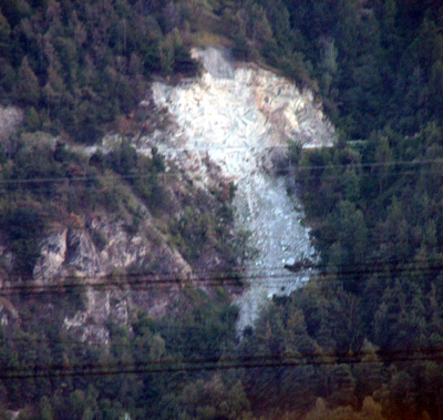
Fig. 1 : Present state of the rockfall of Fey from the Rhône valley. Note the road crossing.
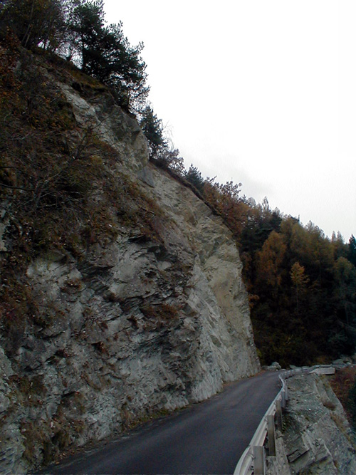
Fig. 2 : View of the present state of the cliff after the rockfall. The road is reconstructed.
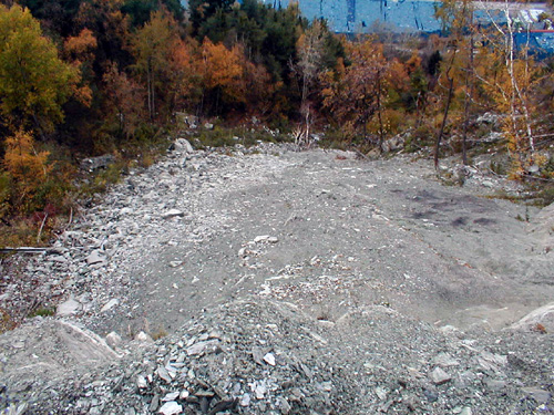
Fig. 3 : Picture of the rockfall of Fey deposit.
On 9th January a small rockfall of 2’000 m3 destroyed the road joining Sion to Fey, on the left side of the Rhone valley (Figs. 1 to 3).
It has been demonstrated that this small rockfall is linked to unfavorable parameters, i.e. occurrence of:
- A fault
- The excavation produced by the construction of the road
- An ancient active cliff
- Unfavorable rock discontinuities
- Etc.
Furthermore, the important integrated antecedent precipitation indicates that the rain can be assumed as a triggering factor. Fatigue and weathering increased by percolating water must be also considered as a degrading factor of the rock mass (Fig. 2 and 4).
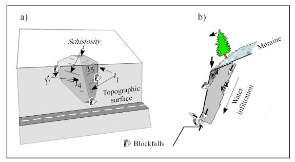
Fig. 4: Schematic structure and mechanism of the Fey rockfall. Fatigue led to bulging of the the toe of the wedge J4-J5 (from Baillifard et al., 2003).
References:
Baillifard, F., Jaboyedoff, M. & Sartori, M.,(2003): Rockfall hazard mapping along a mountainous road in Switzerland using an empirical approach. Natural Hazards and Earth System Sciences.3, 435-442. (Abstract)
Picture from Crealp