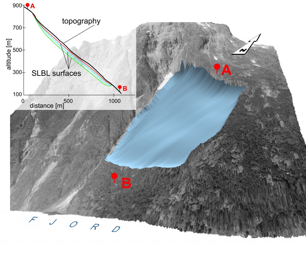
Color figures for the paper: High Resolution Digital Elevation Model Analysis for Landslide Hazard Assessment (Åkerneset, Norway), M.-H. Derron,L.H. Blikra, and M. Jaboyedoff (to be published in the procceeding of the 11th International Conference and Field Trip on Landslides (ICFL). Norway, 1-10 September 2005.)
ABSTRACT: The Åkerneset landslide has an area of 600×1300 meters, is 30-60 m thick and the sliding velocity in the upper part is about 4 cm/year. A high resolution DEM has been acquired by airborne light detection and ranging technology (lidar) coupled with color airphotos. These data have been analyzed using a geographical information system (GIS). The preliminary assessment of the landslide was performed following 3 stages: 1) surface geometry, identification and mapping of the main sets of discontinuities; 2) kinematic tests of planar sliding; 3) estimation of the potential sliding volume.
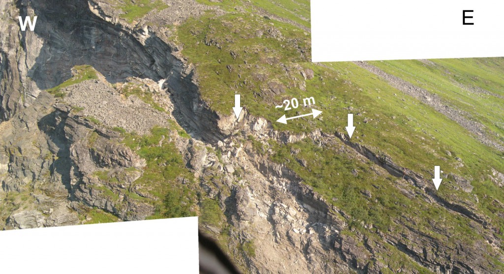
Figure 1
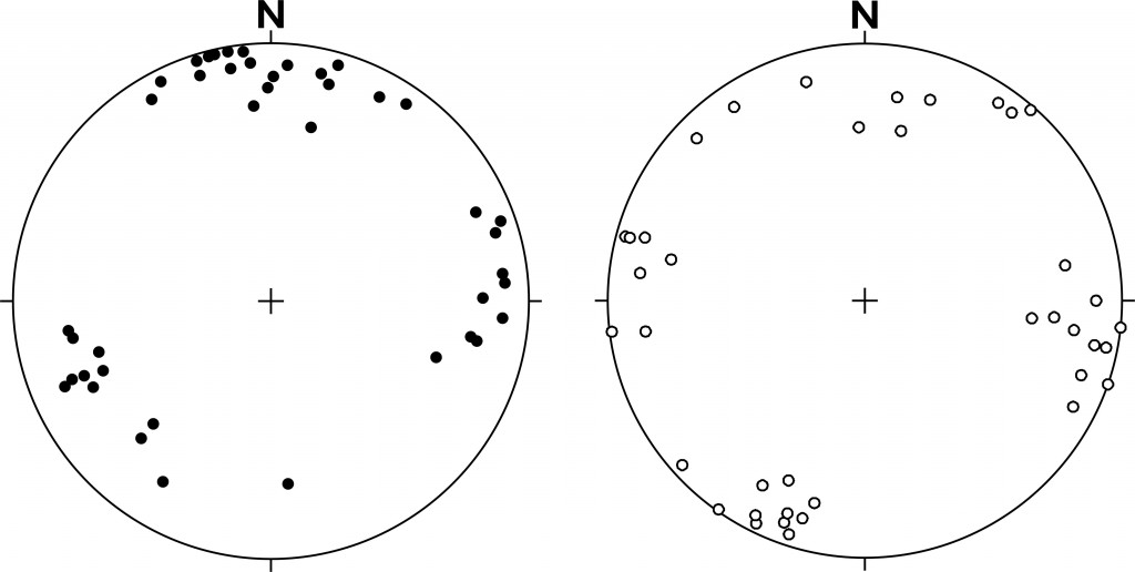
Figure 2
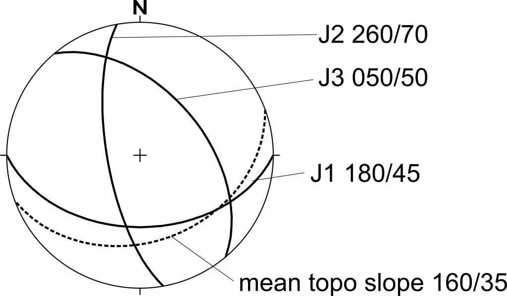
Figure 3
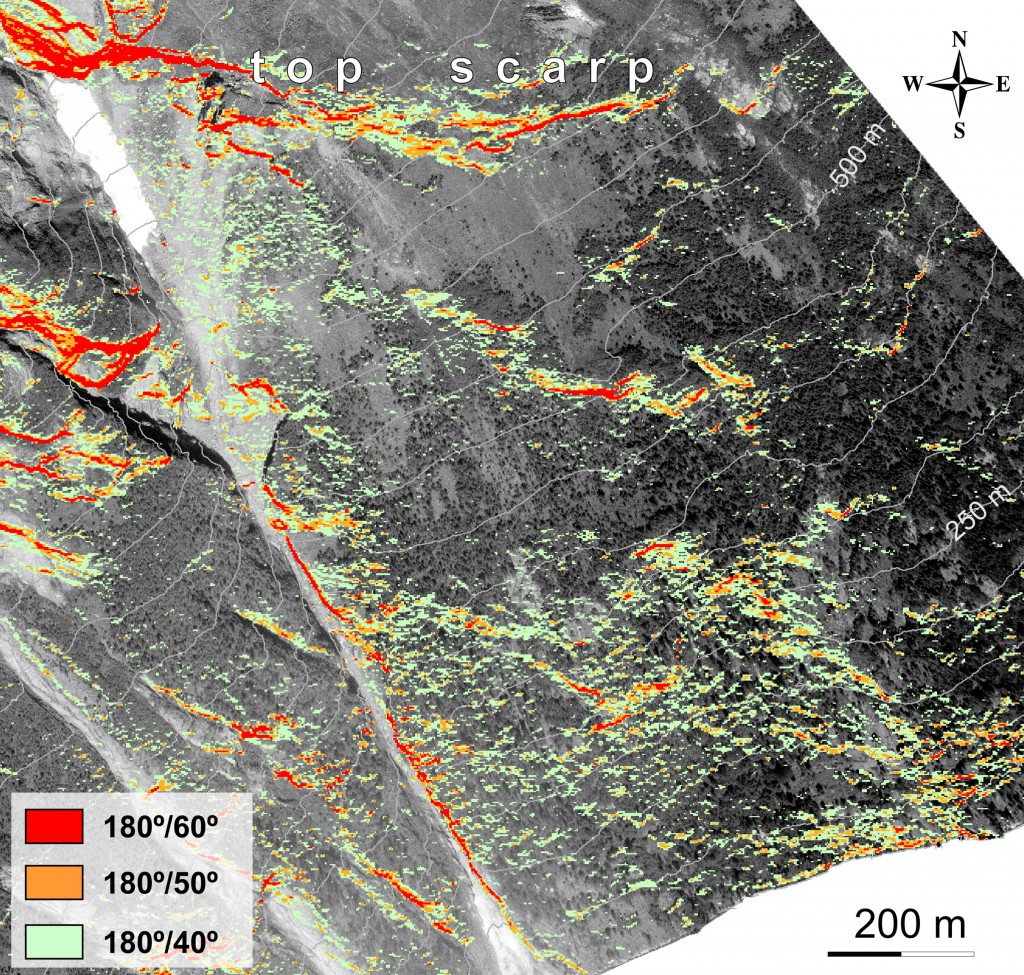
Figure 4
Figure 6
Figure 7


